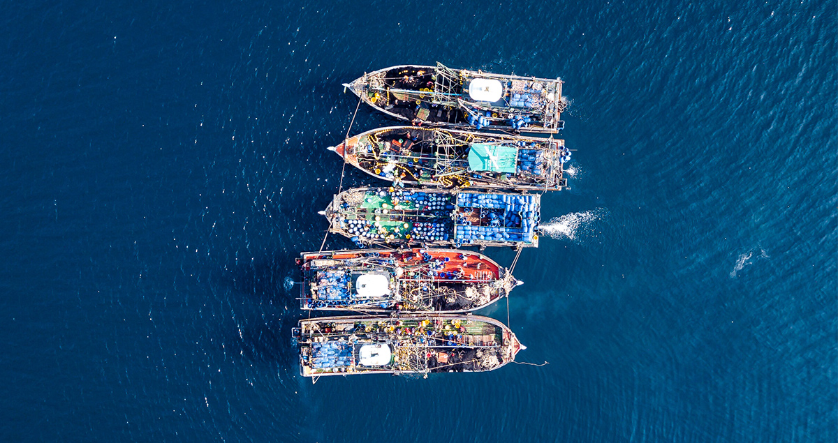
How AI can help satellites track ‘dark ships’ from space

At any one time, around 100,000 vessels are sailing the seas. At least half of them are carrying cargo, shifting the world’s goods from port to port. And that’s not counting those that would rather remain incognito — the illegal fishing boats and the craft carrying out piracy attacks, for example.
In recent years, satellite mapping has helped pinpoint what the maritime sector calls ‘dark ships’ — the vessels that switch off their Automatic Identification System (AIS) to avoid detection.
Earth-observation satellites can monitor and photograph objects on the ocean to aid vessel detection — vital when over 100 ships are attacked by pirates annually — but it’s a time-consuming process. Now artificial intelligence (AI) can help those searching for dark ships to cut to the chase.

(Note: The resolution of the captured image depends on the performance of the camera being used)
How satellites can track down ships
Identifying covert ships has traditionally relied on downloading high-resolution optical images captured by Earth-observation cameras. However, both data transmission capacity and storage are very limited, so these images cannot always be transmitted to a computer back down on Earth. And when they can, these vast quantities of data need to be combed through by humans, who must then painstakingly match up each satellite image of an evasive ship with its AIS details. This can cause delays in identifying perpetrators and launching interventions.
Mitsubishi Heavy Industries (MHI) Group has developed a device that, like other Earth-observation equipment, takes images of terrestrial objects, but unlike other satellite technology, simultaneously processes that visual data using AI.

Using AI to fine-tune satellite data
The satellite-mounted detector, called AIRIS (or Artificial Intelligence Retraining In Space), consists of an Earth-observation camera and an AI-equipped data processor.
When the camera scans the Earth’s surface, rather than automatically sending all that data back for processing, AIRIS deploys its AI to detect target objects — such as dark ships — and selects and transmits only data from the areas where those objects are located.
Imagine a ship was originally identified via its AIS when it set off from port, but then switched its system off mid-voyage. In those cases, AIRIS is capable of tracking this ship via images captured by its Earth observation cameras and detecting them with on-board AI.
It can also be updated while in orbit, as AIRIS is capable of receiving a ‘retrained’ AI model from the ground to update and fine-tune its own onboard AI.

AI for economic security
AIRIS is selected as one of the demonstration themes of the Innovative Satellite Technology Demonstration Program conducted by Japan Aerospace Exploration Agency (JAXA). It is due to be launched in FY2025 onboard JAXA's demonstration satellite RAISE-4.
MHI says its initial usage of the technology will be in the field of economic security, tracking down ships on the world’s oceans.
With illegal, unreported and unregulated fishing activities responsible for the loss of up to 26 million tonnes of fish a year — resulting in up to $23 billion of economic losses — it’s not hard to see why this is a priority area.
But the technology can also be applied more widely. MHI envisages this detection capability will be expanded in the future to include other objects, such as aircraft or vehicles.
In the meantime, the deployment of AIRIS marks a significant advancement in maritime monitoring, enhancing the ability to track elusive vessels and mitigate illegal activities on the high seas.
![]()
Learn more about JAXA’s X-ray Imaging and Spectroscopy Mission Satellite (Xrism)


